Posts

Showing posts from March, 2014

Trails Challenge 2014 Diary: Marin Headlands Revisited

Image
Date:  03-24-2014 Distance Completed:  Not Far Hiking Condition:  Excellent Distraction from Hiking:  Sea Foam Today , I decided to revisit the hike I did a week ago , along the edge of the Marin Headlands Coastal Trail where the cliffs tumbled down into the Pacific Ocean. But instead of turning right from Rodeo Beach, I turned left and hiked a steep climb towards Battery Wallace. Few minutes later , I was close to a jutting promontory where cormorants abound . The scenery was insanely beautiful that I did not get that far . Of course , there was the view of Rodeo Beach in living color . I had posted pictures of Marine Headlands in my previous blogs, but I saw something amazing that I have not seen before - sea foam . The wind carried the sea foam into the air to form a spectacular display of bubbles . I felt like a kid seeing something magical for the first time , it gave me pure joy . I went

Trails Challenge 2014 Diary: Marin Headlands

Image
Date:  3-19-2014 Distance Completed:  6 Miles Trail Condition:  Excellent Beautiful Distraction:  A Sea and Land in Motion [1] There's no better place to hike on a beautiful day such today than the trails at the Marin Headlands. It was great to start along the Rodeo Beach and end there to soak my tired feet in the chilly waters and dig my toes in the gray , green and red pebbles while watching the birds and the surfers. I parked in front of the lagoon and crossed the Nature Bridge where I saw a bunch of birds , including plenty of colorful mallards. They always seemed to come in three (why 2 males and 1 female, I wondered). I then turned away from the beach to the path that ran along the 'DANGEROUS CLIFFS' sign to the trail marker.  I ascended the narrow paths, patches of wild spring flowers were hard to ignore. When I reached the top of the hill , a beautiful view , the blue ocean and the

Trails Challenge 2014 Diary: San Francisco Bay Trail, San Leandro

Image
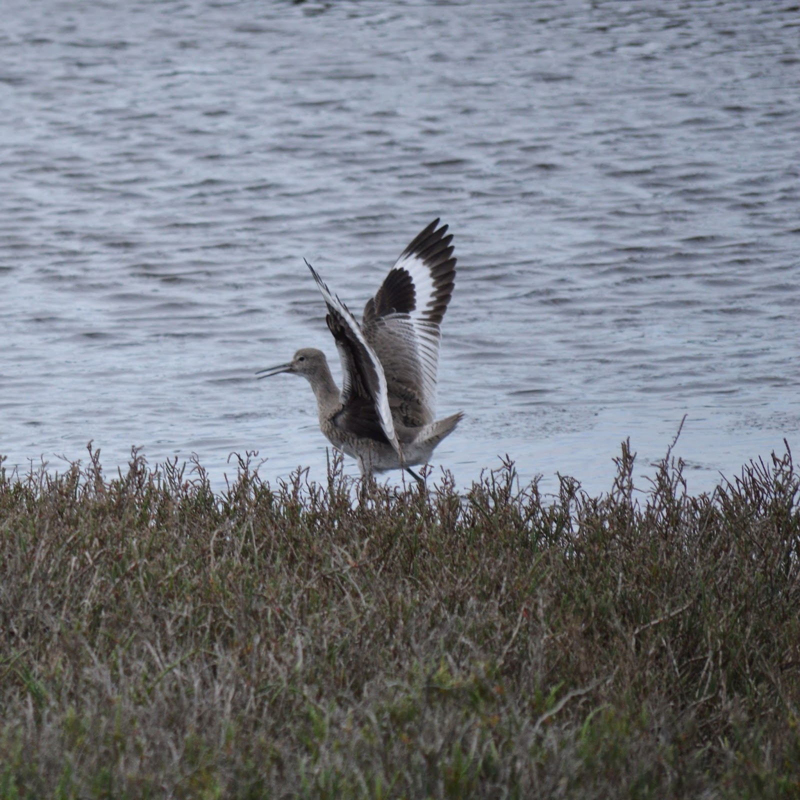
Date:  03-16-2014 Distance Completed:  4 miles Date: 03-19-2014 Distance Completed: 3 miles Trail Condition:  Excellent Beautiful Distraction from Hiking:  Birds Bird  It was passed from one bird to another, the whole gift of the day. The day went from flute to flute, went dressed in vegetation, in flights which opened a tunnel through the wind would pass to where birds were breaking open the dense blue air - and there, night came in. Red-winged Blackbird When I returned from so many journeys, I stayed suspended and green between sun and geography - I saw how wings worked, how perfumes are transmitted by feathery telegraph, and from above I saw the path, the springs and the roof tiles, the fishermen at their trades, the trousers of the foam; I saw it all from my green sky. I had no more alphabet than the swallows in their courses, the tiny, shining water of the small bird on fire which dances out of the pollen.

Trails Challenge 2014 Diary: Lake Chabot Regional Park & Coyote Hills

Image
PART 1:  Lake Chabot Regional Park Date:  01-27-2014 Distance Completed:  10 miles Trail Condition:  Excellent Distraction from Hiking:  WATER - The obvious effect of the California drought was the lake's low water level. According to our trail map , Lake Chabot offers over 20 miles of hiking trails , which connect to the additional 70 miles of trails in adjoining Anthony Chabot Regional Park. The path around the lake is about 12 miles . Water  Everything on the earth bristled, the bramble pricked and the green thread nibbled away, the petal fell, falling until the only flower was the falling itself. Water is another matter, has no direction but its own bright grace, runs through all imaginable colors, takes limpid lessons from stone, and in those functionings plays out the unrealized ambitions of the foam.                   -- Pablo Neruda   PART 2:  COYOTE HILLS REGIONAL PARK Date:  02/23/14 Distan

Throwback Thursday: Canberra, Australia

Image
Autumn Springs Canberra is the c apital of Australia. Much like the United States’ District of Columbia, Canberra and its surrounding areas are their own territory by ACT (Australian Capital Territory). Designed by an American Architect, Walter Burley-Griffin, the city branches out from two circles - one North and one South of the man-made lake named after the architect .   It is nestled between Mt. Ainslie and Black Mountain. We came to Canberra to see the Parliament building , nestled on the top of the hill . We took a self-guided tour in the Parliament building , read some plaques and signs and read the ‘Magna Carta’. Visitors could even sit in a parliament session , but we missed the session that day , so we entered the open debate room and pretended to debate. I was surprised at how relaxed the security inside the building . But our visit was before a famous incident about a debate that heated into

Northern California Drought, Part 3: Hope Springs Eternal

Image
Coyote Hills Revisited Last Sunday, Mach 9, we hiked the Coyote Hills Regional trails  while trying to get ahead on the 2014 Trails Challenge, an event sponsored by the Regional Parks organization and a Health Care Organization (HMO) to challenge people to hike five featured trails by December 1, 2014. I thought I would hike as many trails and as many miles as I can before leaving for my trip abroad , so we decided to return today . Where is Coyote Hills, anyway ? I know we all can easily Google map a place , but I just wanted to mention that the park can be reached from Paseo Padre Parkway in Fremont, California, where you would turn sharply right to a tiny road to get to the park entrance , or gate if you ’re driving . About a quarter mile from the gate , you ’ll find a parking lot ( you have to pay five dollars to park ). But I never drive or park at the park ’s parking lot , I always walk